

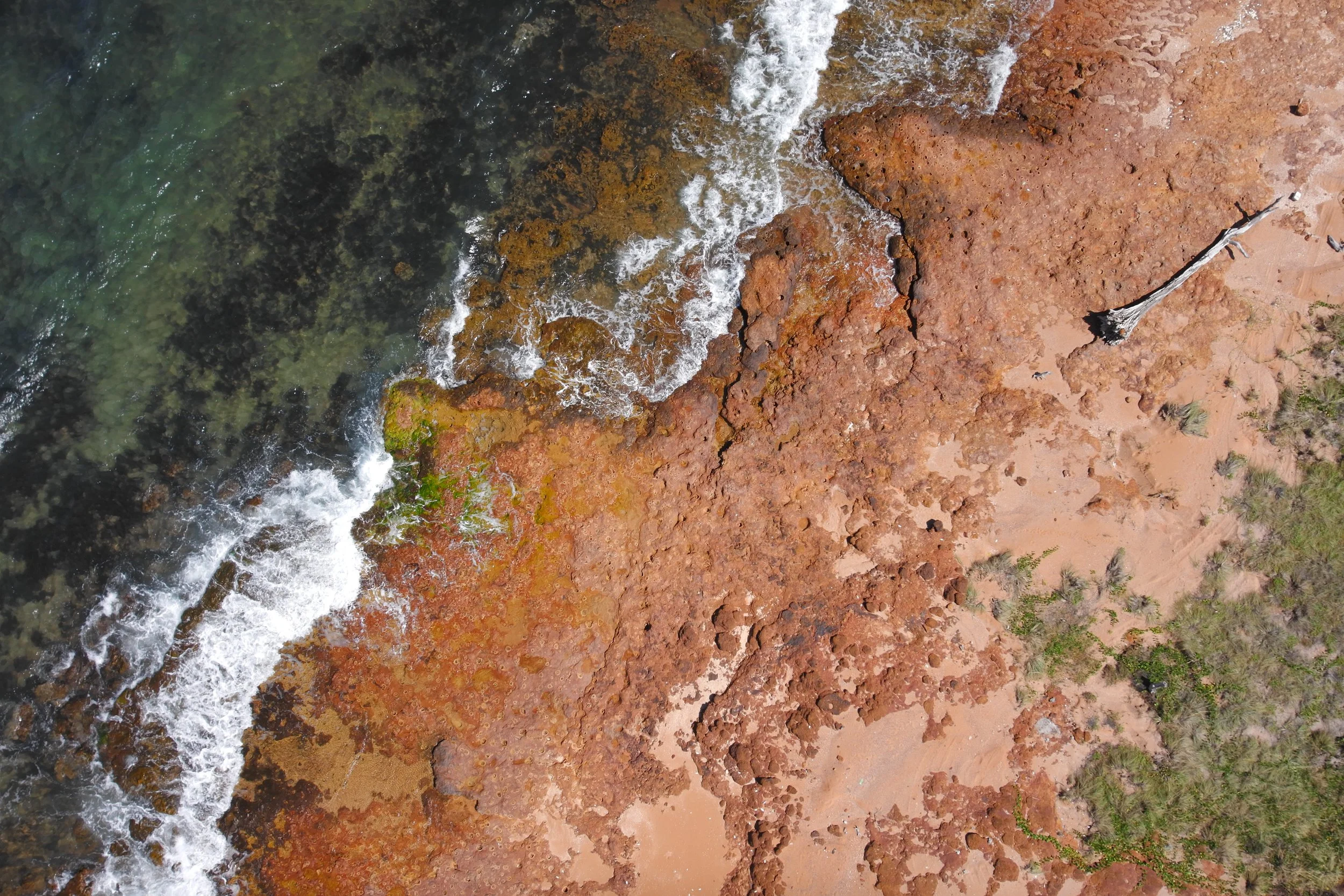
Remote sensing
Aerial data capture through the use of Remotely Piloted Aircraft (RPA) can result in enormous gains and improvements in safety for many industries, sectors, and businesses. RPAS are the third generation of platforms collecting remotely sensed data of natural and human-made features on Earth's surface. They provide low-cost, high-resolution imagery and data for a wide range of applications. Here at NACAS, we are working with partners to automate the processing, analysis, and visualisation of aerial data capture across various industries and sectors significant to the northern Australian economy.
AI-enhanced remote environmental monitoring
NACAS is using RPAS and artificial intelligence (AI) to optimise the detection of invasive species, man-made objects, and wildlife. Our team utilises multi-rotor fixed-wing and powered-lift or VTOL drones to capture imagery over vast areas of Northern Australia. These images are used to train highly effective AI models to detect weed species like gamba grass, ghost nets, and crocodile nests.
Wildlife and threatened species monitoring

NACAS is using RPAS to automate wildlife survey counts and simultaneously undertake habitat mapping over broad areas. Our team utilises a fleet of rotor-copter and fixed-wing RPA and the latest sensors to develop accurate survey techniques for a range of terrestrial and marine fauna across northern Australia.

Biosecurity
NACAS has worked with the Northern Australia Quarantine Strategy (NAQS; Department of Agriculture, Water & the Environment) to enhance the preparedness and response planning for exotic disease incursions. We are assessing aerial radiography’s utility using RPAS to detect feral pigs and help reduce the spread of African Swine Fever and other exotic diseases.

Darwin Living Lab
In partnership with CSIRO, NACAS developed the workflow and capacity to enable accurate, precise, and sensitive radiometric monitoring and evaluation of urban innovation projects throughout the lifetime of the Darwin Living Lab.
The project team undertook aerial radiography with RPAS that monitored thermal changes in the urban or rural landscape in various local scenarios. The data collected will inform the development of mathematical simulation models for the different heat transfer mechanisms across various spatiotemporal scales to help translate and communicate the urban thermal landscape of the Darwin CBD.